| Kilometers/Miles |
45 / 28 |
| Cumulative ascent: meters/feet |
992 / 3253 |
| Maximum height |
975 / 3198 |
| Duration |
4 and a half hours |
| Beginning and end location |
Puente El Arrudo |
| Difficulty |
Medium |
| Month |
December 2006 |
| Recommended period |
All year round |
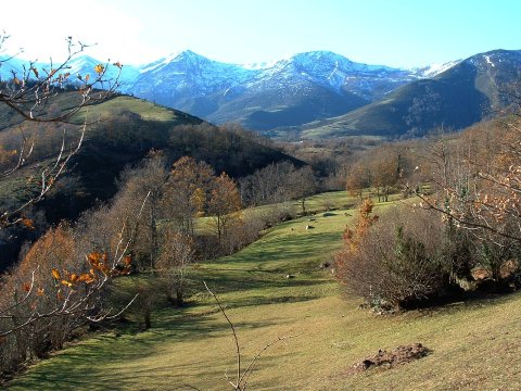
![]() The mountain ridge of Peña Sagra |
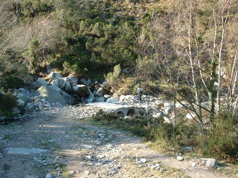
![]() The ascent thought the track that runs parallel to the Tanea river |
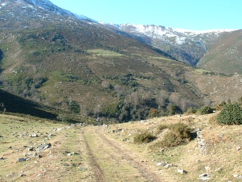
![]() Arriving at the pass of Carrizosa |
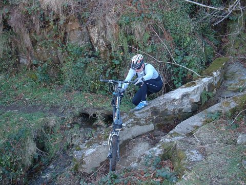
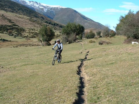
![]() Crossing a creek |
![]() The wideness of the pass invites us to get off the track |
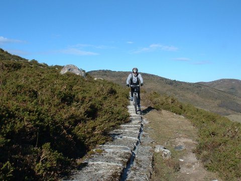
![]() The canal of Vendul, which carries water to the Saltos del Nansa for generating electricity |