Cantabria by Bike

Ascent to the Peak of Obios from the Valley of Cieza

Route 51

By: Javier Tovar, Pedro Ceballos, and Michael González Harbour

Basic Data

Click here to open the route in a Google Maps window. You will see it drawn on a satellite picture or a map. Use the controls in the upper part of the window to zoom into the map, reposition it, or to change the satellite.


Kilometers/Miles
54 / 34
Cumulative ascent: meters/feet
1460 / 4789
Maximum height: meters/feet
1217 / 3992
Duration
4 and a half hours
Beginning and end location
Villayuso de Cieza
Difficulty
Medium
Month
October 2007
Recommended period
Spring, Summer, Autum


Map of route 51

Profile

Perfil route 51

Pictures


foto1
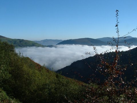
  A "sea" of fog covers the lower parts of the valley of Cieza

foto2
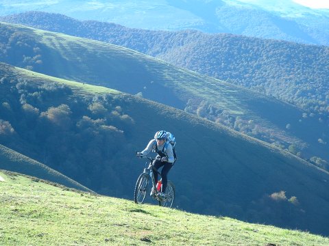
  Climbing towards the peak of Tordías

foto 3
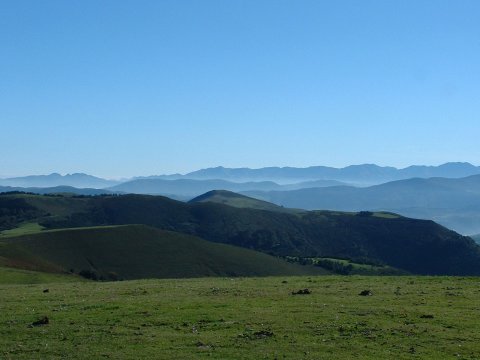
The haze remarks the perspective of the Cantabrian mountains
foto 4
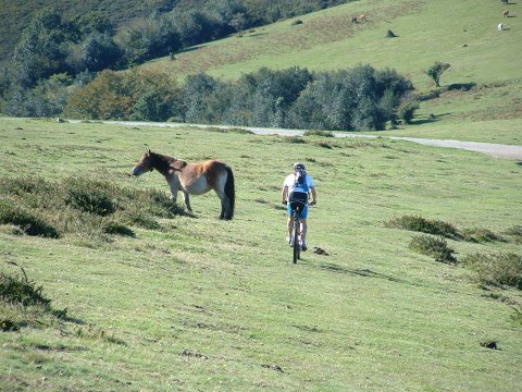
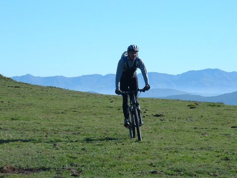
  The descent crossing the fields

foto5
Near the peak of Tordías

foto 6
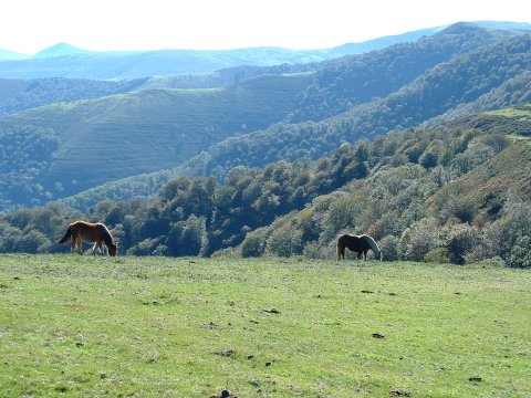
The cattle is still in the mountains. It will be moved down to the valleys soon
foto 7
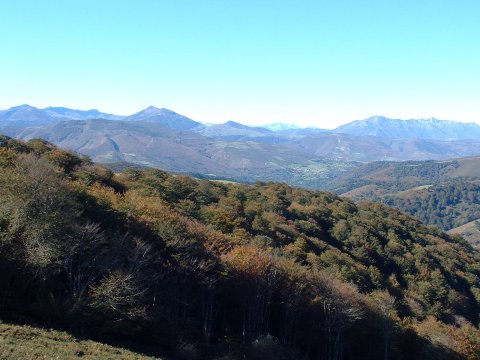
  The colours of Autum are starting to appear.
foto 8
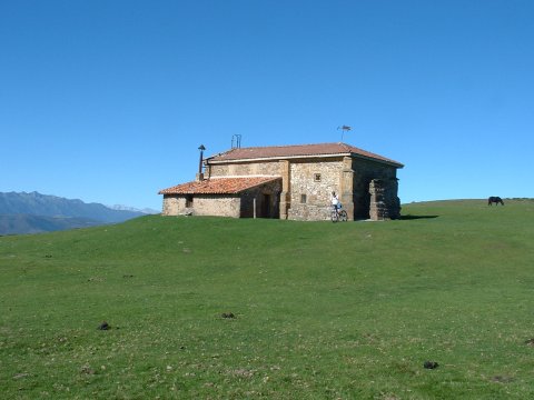
The eremite of el Moral, with a mountain refuge on the side.

Downloads

To open the route in Google Earth click on the 'KMZ' link and select 'Open with Goole Earth' (requires prior installation of Google Earth). To download a route, right-click on the link and select 'save link as' or a similar option.

Instructions

See the instructions and disclaimer, as well as other routes, in the main page.