Cantabria by Bike

Virgen de la Peña, Collado de Cieza, Alto del Toral

Route 52

By: Javier Tovar, Pedro Ceballos, and Michael González Harbour

Basic Data

Click here to open the route in a Google Maps window. You will see it drawn on a satellite picture or a map. Use the controls in the upper part of the window to zoom into the map, reposition it, or to change the satellite.


Kilometers/Miles
39 / 24
Cumulative ascent: meters/feet
1376 / 4513
Maximum height: meters/feet
897 / 2942
Duration
5 hours and a quarter
Beginning and end location
Virgen de la Peña
Difficulty
High
Month
October 2007
Recommended period
All year round

mapa route 52.


Profile

perfil route 52

Pictures


foto1
The sun slowly heats up the air in this lovely autum morning

foto2
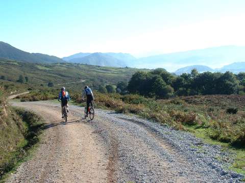
The path that goes form Herrera de Ibio to Coo goes
by the South side of mount Ibio

albarcas
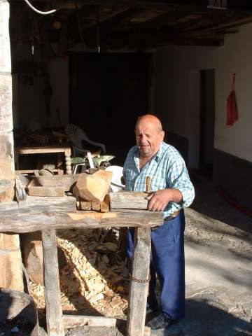
Mr. Fernando Gómez shows us his workshop in Coo,
where he makes the wodden shoes called albarcas

foto 4
  The path form the peak of La Garita Collado

foto5
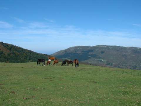
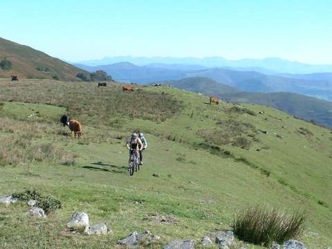
Some horses feeding by the peak of Mozagro, with mount Ibio in the back

foto 6
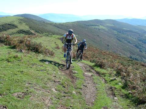
  The path by the ridge offers splendid views
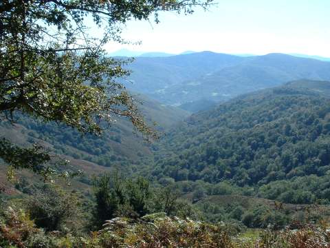
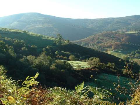
foto 7
The valley of Cieza
foto 8
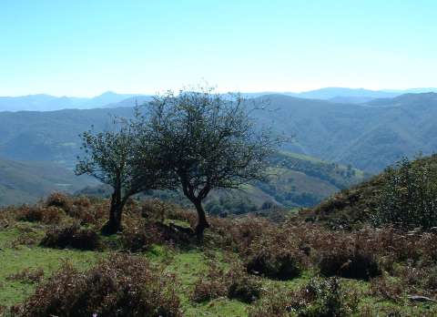
These trees look as if they were helping each other to stand up

foto 9
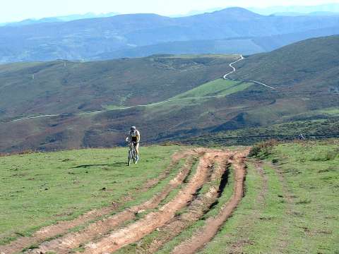
The ascent to the Alto del Toral
foto 10
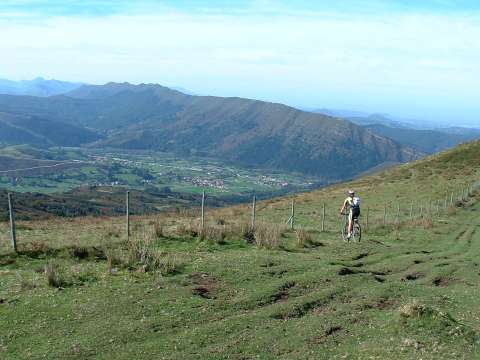
  The villages of Ucieda and Ruente, with the Sierra del
Escudo de Cabuérniga in the background

Downloads

To open the route in Google Earth click on the 'KMZ' link and select 'Open with Goole Earth' (requires prior installation of Google Earth). To download a route, right-click on the link and select 'save link as' or a similar option.

Instructions

See the instructions and disclaimer, as well as other routes, in the main page.