Villacarriedo, with the Palace of Soñanes in the middle
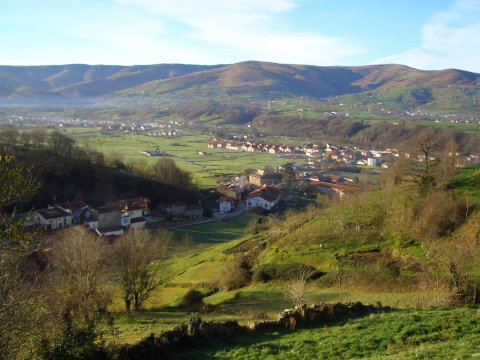
The village of Abionzo, with Mount Caballar behind
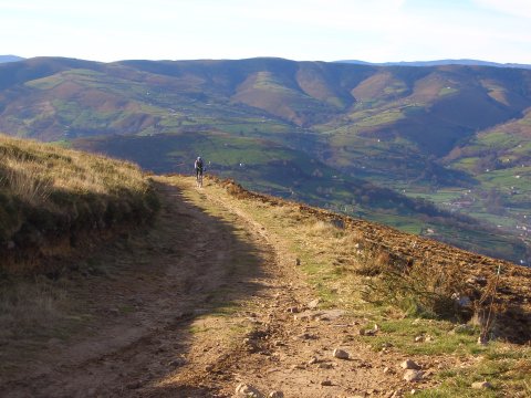
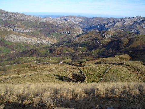
We enjoy extensive views of the valley
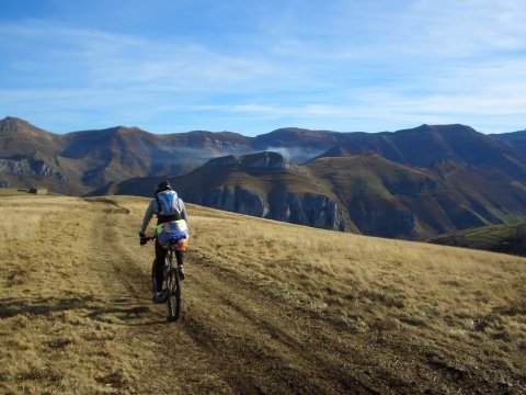
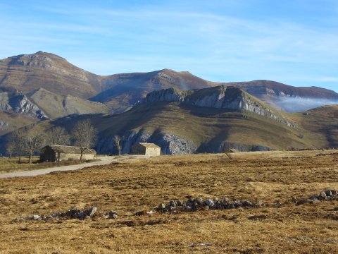
The peak called Coto La Horna
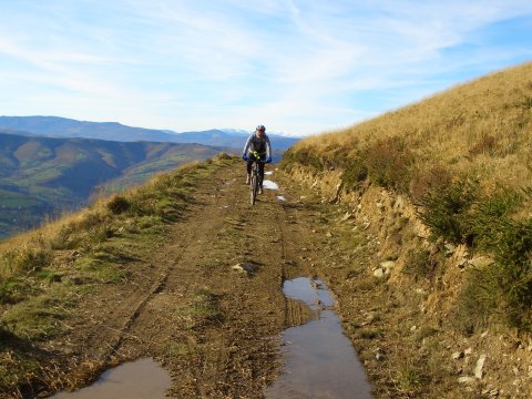
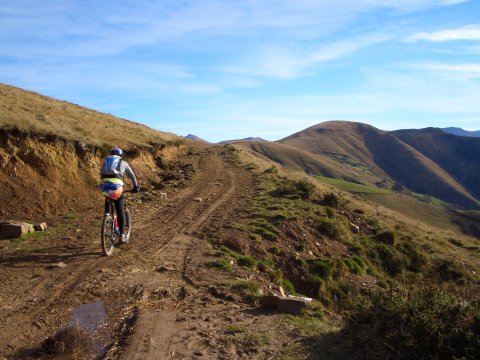
Arriving at the ridge that separates the valleys of the
Pisueña and Miera rivers
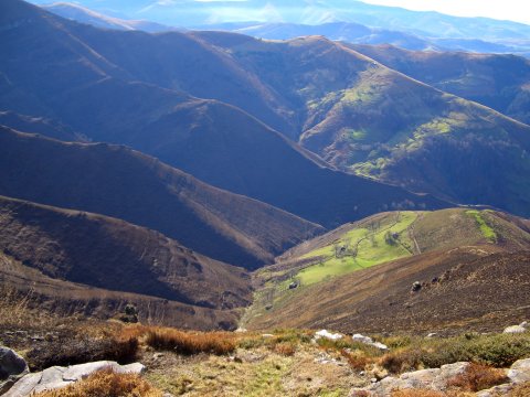
The valley of river Miera
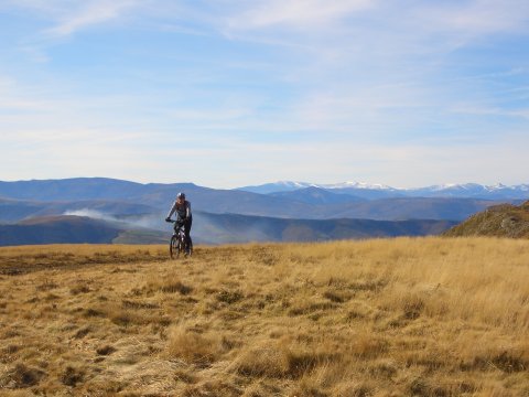
The massif of Picos de Europa can be seen in the skyline
The descent towards the pass of Caracol
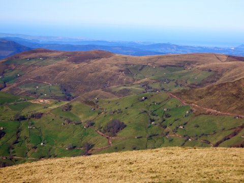
Cottages from the region of river Pas
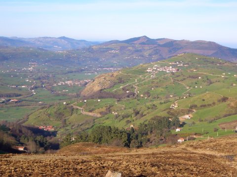
The higher part of the valley of river Pisueña
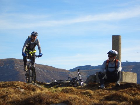
At the peak of Coterotejo, we can see the radar of peak Picon del Fraile
in the background, to the right
Looking back at the track we just cycled, we can see many cattle cottages