Cantabria by Bike

Llerana, Carcabal, Solana, Height of la Tejada

Route 66

By: Javier Tovar, Pedro Ceballos, and Michael González Harbour

Basic Data

Click here to open the route in a Google Maps window. You will see it drawn on a satellite picture or a map. Use the controls in the upper part of the window to zoom into the map, reposition it, or to change the satellite.

Kilometers/Miles
26 / 16
Cumulative ascent: meters/feet
1161 / 3809
Maximum height: meters/feet
785 / 2575
Duration
4 hours
Beginning and end location
Llerana
Difficulty
Medium-High
Month
February 2008
Recommended period
All year round

Mapa route 66


Profile

perfil route 66

Pictures


foto1
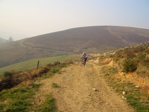
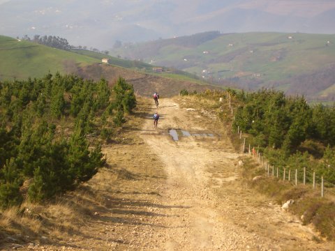
We cycle on the ridge that separates the valleys
of the Pisueña and Miera rivers

foto2
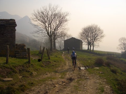
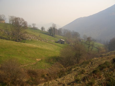
We approach the village of Noja, close to the massif of Peña Herrera

foto 3
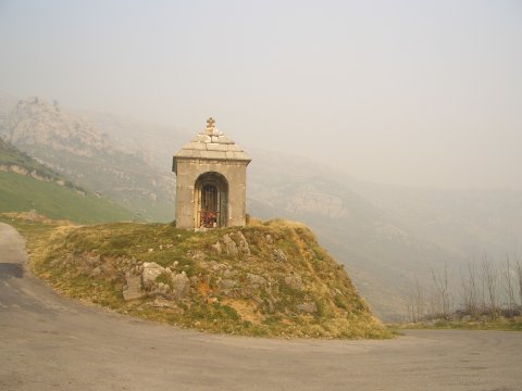
  The cross of Solana marks this road crossing in the valley of Miera

foto 4
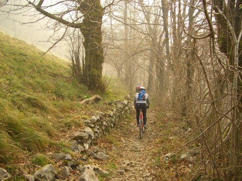
  We go down from Solana to Merilla through a difficult path
in the forest

foto5
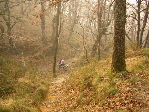
We continue in the forest

foto 6
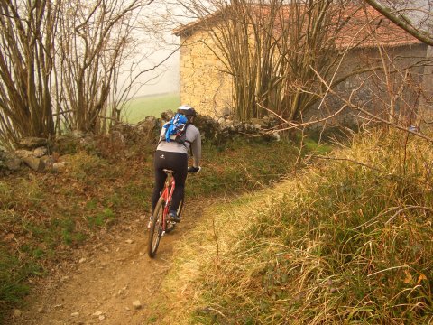
A house in Los Cerrillos

foto 7
We return to the height of Carcabal
foto 8
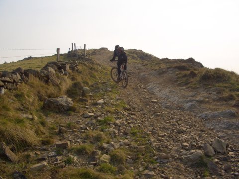
The ridge has some sections of steep slope

foto9
  The descent is through a fun trail
foto 10
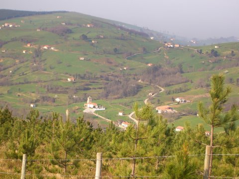
The village of Llerana

Downloads

To open the route in Google Earth click on the 'KMZ' link and select 'Open with Goole Earth' (requires prior installation of Google Earth). To download a route, right-click on the link and select 'save link as' or a similar option.

Instructions

See the instructions and disclaimer, as well as other routes, in the main page.