Cantabria by Bike

Tarriba, Mount Tejas, Valley of Anievas, Peak La Garmia

Route 67

By: Javier Tovar, Pedro Ceballos, and Michael González Harbour

Basic Data

Click here to open the route in a Google Maps window. You will see it drawn on a satellite picture or a map. Use the controls in the upper part of the window to zoom into the map, reposition it, or to change the satellite.

Kilometers/Miles
41 / 25
Cumulative ascent: meters/feet
1345 / 4411
Maximum height: meters/feet
756 / 2480
Duration
5 and a half hours
Beginning and end location
Tarriba
Difficulty
High
Month
February 2008
Recommended period
All year round

mapa route 67

Profile

perfil route 67

Pictures


foto1
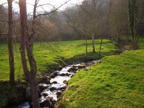
The creek of Tejas, near Tarriba

foto2
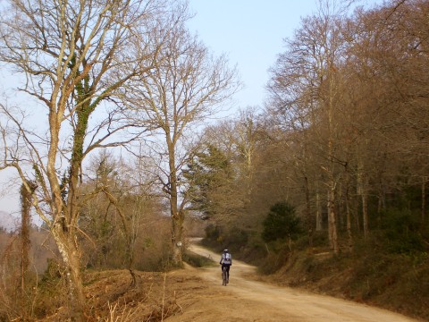
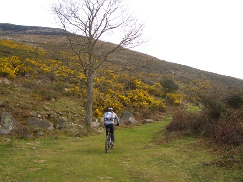
The ascent through the track of Mount Tejas

foto 3
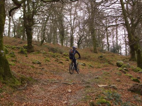
  The path goes into a beautiful beech forest
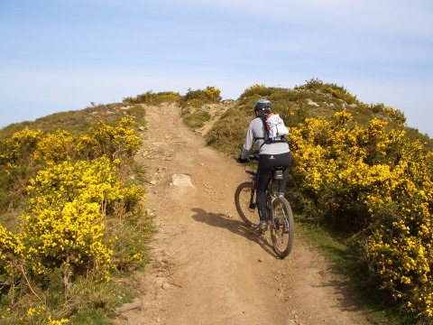
foto 4
It is a fun trail

foto5
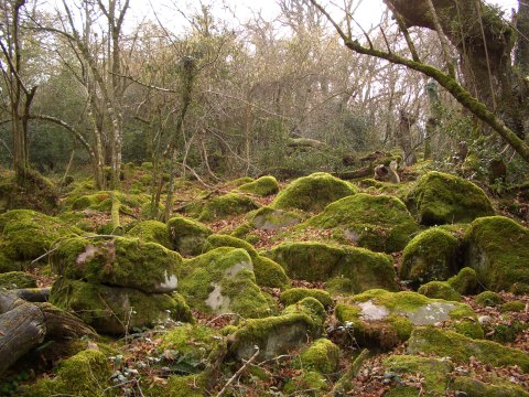
A thick blanket of moss covers the rocks and the tree trunks

foto 6
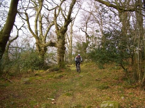
We approach the top, near Quintana de Toranzo

foto 7
The ascent from Anievas has steep sections
foto 8
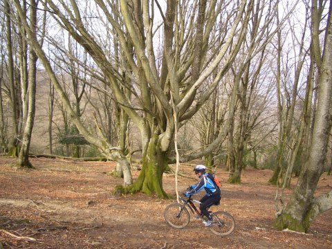
Back in Mount Tejas, we are impressed by the huge beeches

foto9
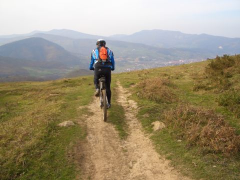
We can see the valley of Buelna during the descent
foto 10
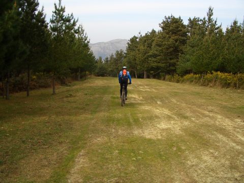
The track to Tarriba

Downloads

To open the route in Google Earth click on the 'KMZ' link and select 'Open with Goole Earth' (requires prior installation of Google Earth). To download a route, right-click on the link and select 'save link as' or a similar option.

Instructions

See the instructions and disclaimer, as well as other routes, in the main page.