The trail crossing named la Cruz de Fuentes
is visible in the distance

The city of Reinosa and the reservoir of river Ebro in the distance,
from the Ropero peak
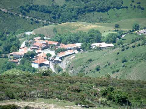
The village of Camino, from the Ropero peak
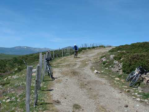
The descent from the Ropero peak
| Kilometers/Miles |
56 / 35 |
| Cumulative ascent: meters/feet |
1116 / 3660 |
| Maximum height |
1486 / 4874 |
| Duration |
4 hours |
| Beginning and end location |
Correpoco |
| Difficulty |
Medium |
| Month |
June 2006 |
| Recommended period |
Spring-Summer |
The trail crossing named la Cruz de Fuentes is visible in the distance |
The city of Reinosa and the reservoir of river Ebro in the distance, from the Ropero peak |
The village of Camino, from the Ropero peak |
The descent from the Ropero peak |