Home Page
© 2006-2015: Javier Tovar, Pedro Ceballos, and Michael González Harbour
Pictures from 2006
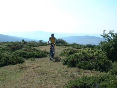
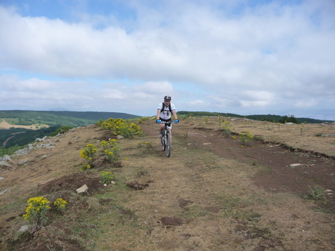
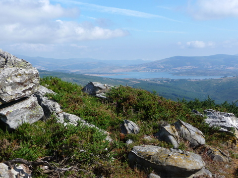
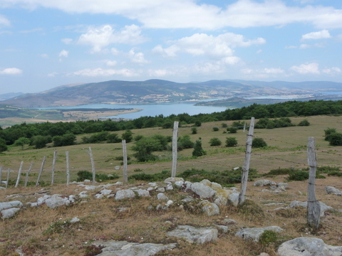
Mount Matanzas

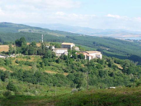
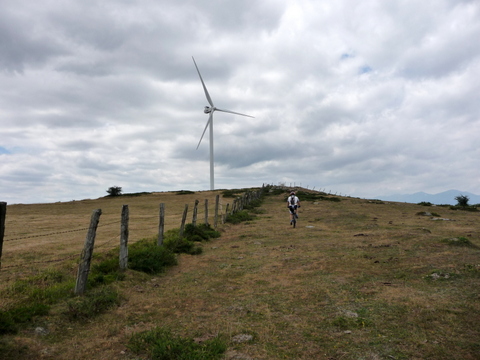
Cycling on the crest of Mount Matanzas
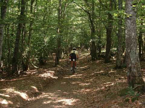
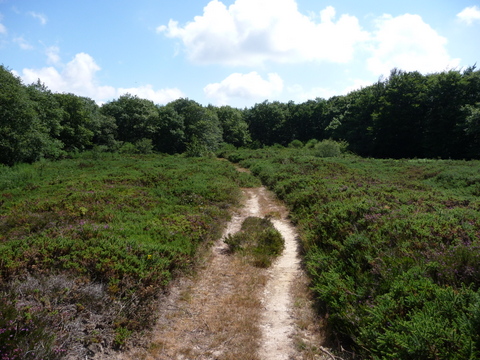
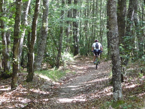
The forest of Monte Hijedo
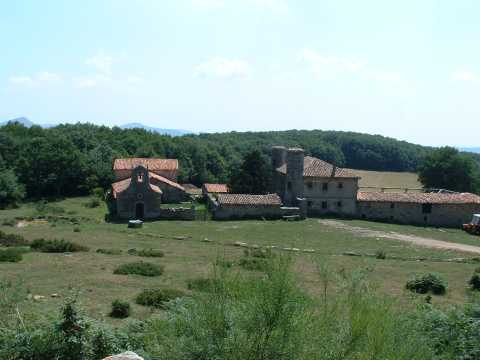
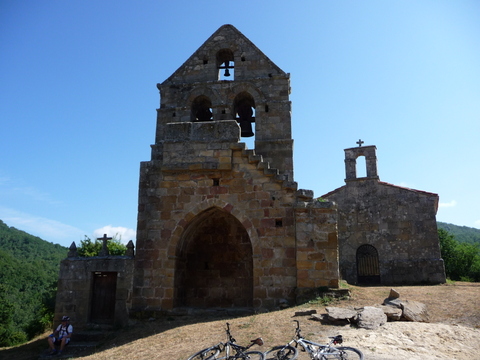
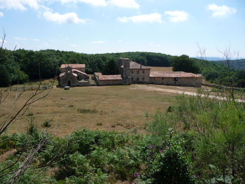
The cottage of Hijedo