Cantabria by Bike

Valdeprado del Río, Aldea de Ebro, Monte Hijedo, Ruerrero, La Serna

Route 13

By: Javier Tovar, Pedro Ceballos, and Michael González Harbour

Basic Data

Click here to open the route in a Google Maps window. You will see it drawn on a satellite picture or a map. Use the controls in the upper part of the window to zoom into the map, reposition it, or to change the satellite.


Kilometers/Miles
76 / 47
Cumulative ascent: meters/feet
1288 / 4224
Maximum height
1169 / 3834
Duration
7 hours
Beginning and end location
Km 5, road CA-272
Difficulty
High
Month
August 2006
Recommended period
Spring, summer, autum

Mapa route 13

Profile

Perfil route 13

Pictures


foto1
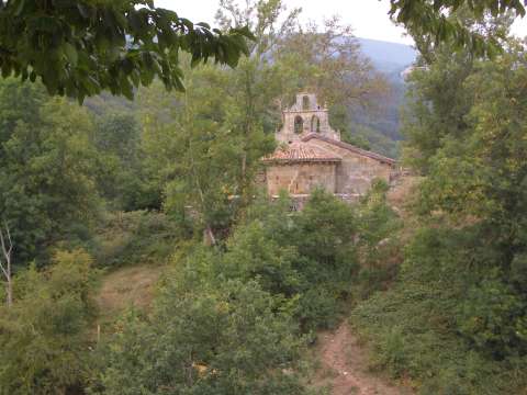
The romanic church of St. Julián in Bustasur (XII century)

foto2
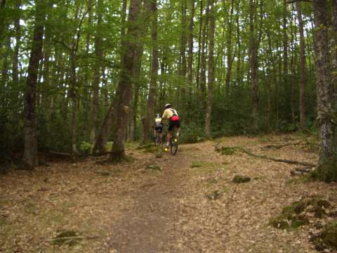
The trail in the forest of Monte Hijedo
foto 3
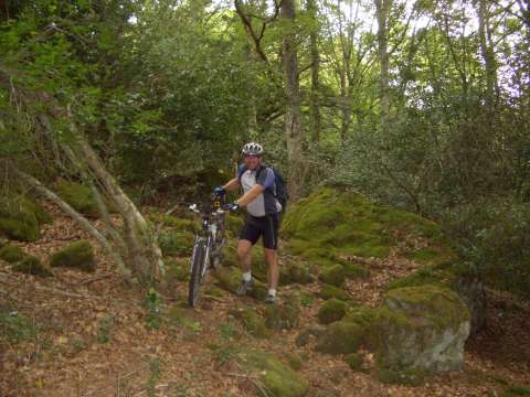
The forest of Monte Hijedo

foto 4
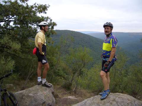
A view of Monte Hijedo

Downloads

To open the route in Google Earth click on the 'KMZ' link and select 'Open with Goole Earth' (requires prior installation of Google Earth). To download a route, right-click on the link and select 'save link as' or a similar option.

Instructions

See the instructions and disclaimer, as well as other routes, in the main page.