Cantabria by Bike

Piedras Luengas, Caloca, Altos de Pineda, Lores

Route 14

By: Javier Tovar, Pedro Ceballos, and Michael González Harbour

Basic Data

Click here to open the route in a Google Maps window. You will see it drawn on a satellite picture or a map. Use the controls in the upper part of the window to zoom into the map, reposition it, or to change the satellite.


Kilometers/Miles
56 / 35
Cumulative ascent: meters/feet
1511 / 4956
Maximum height
1582 / 5190
Duration
5 hours
Beginning and end location
6 Km from the pass of  Piedras Luengas
Difficulty
High
Month
August 2006
Recommended period
Spring, summer

Mapa route 14

Profile

Perfil route 14

Pictures


foto1
The view from the ascent to the pass of Piedras Luengas

foto2
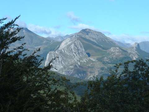
The heights of Pineda are impressive becase there are no constructions
for many miles
foto 3
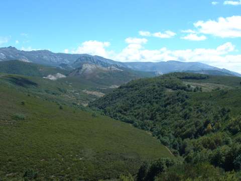
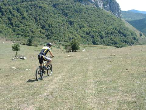
The trail near the heights of Pineda

foto 4
The village of Caloca
foto 5
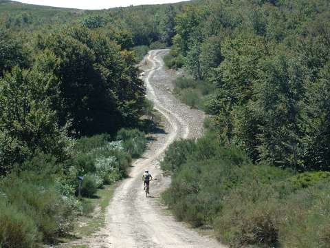
The descent off-track towards the village of Lores, in Palencia
foto 6
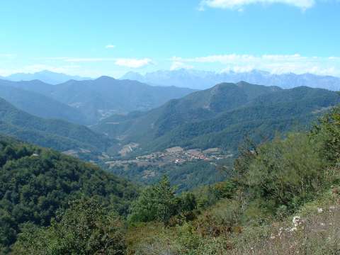
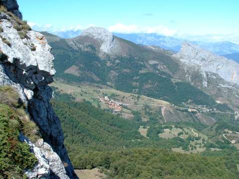
The impressive iew of the valley of Liébana from the pass of Piedras Luengas.
The Picos de Europa can be seen in the distance

Downloads

To open the route in Google Earth click on the 'KMZ' link and select 'Open with Goole Earth' (requires prior installation of Google Earth). To download a route, right-click on the link and select 'save link as' or a similar option.

Instructions

See the instructions and disclaimer, as well as other routes, in the main page.