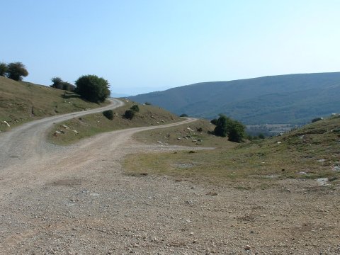
The trail junction known as La Cruz de Fuentes
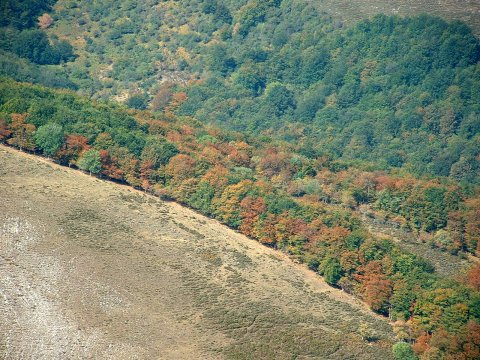
The long drought has brought Autum-like colours to the forest
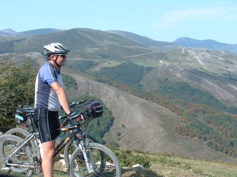
The view from the trail in the descent from Cruz de Fuentes
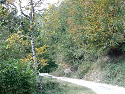
The trail leads us inside the forest of Saja
| Kilometers/Miles |
58 / 36 |
| Cumulative ascent: meters/feet |
1404 / 4605 |
| Maximum height |
1275 / 4182 |
| Duration |
4 and a half hours |
| Beginning and end location |
Fresneda |
| Difficulty |
Medium |
| Month |
September 2006 |
| Recommended period |
Spring, summer |
The trail junction known as La Cruz de Fuentes |
The long drought has brought Autum-like colours to the forest |
The view from the trail in the descent from Cruz de Fuentes |
The trail leads us inside the forest of Saja |