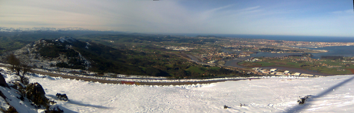
The view from Peak Llen, in Peña Cabarga
| Kilometers/Miles |
45 / 28 |
| Cumulative ascent: meters/feet |
915 / 3001 |
| Maximum height: meters/feet |
570 / 1870 |
| Duration |
3 hours |
| Beginning and end location |
Santa Cruz de Bezana |
| Difficulty |
Medium-Low |
| Month |
April 2007 |
| Recommended period |
All year round |
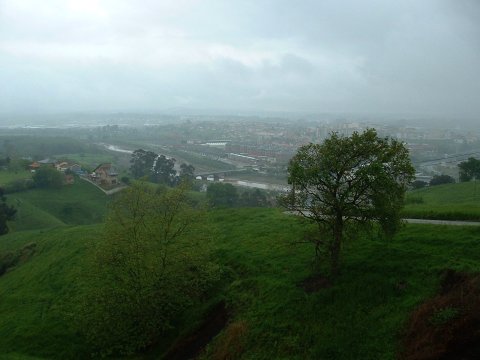 The Estuary of Solía and the city of Astillero, as seen during the ascent to Santiago |
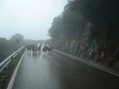 A herd of goats share part of the ascent |
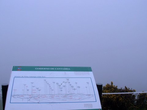
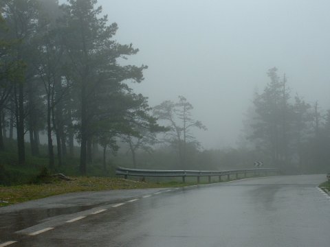 The fog and the rain are continuous during this route |
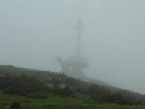 The monument in memory of the emigrants to America, at the top of peak Llen, in Peña Cabarga |
 This is the view from Peña Cabarga when it's foggy! |
 For the return, we cycle along the new track of the Estuary of Solía |
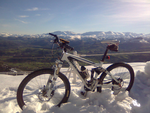 La Cordillera Cantábrica desde Peña Cabarga |
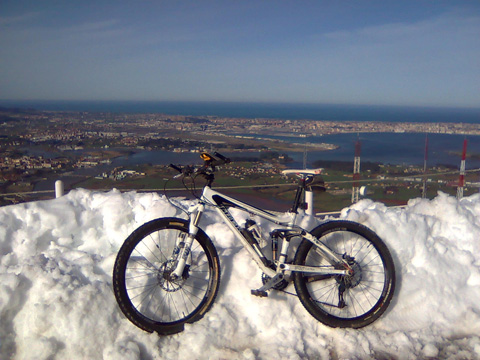 La bahía de Santander desde Peña Cabarga |