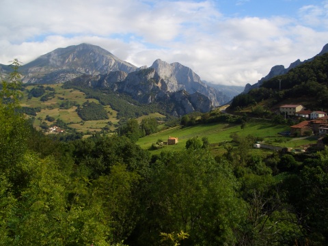
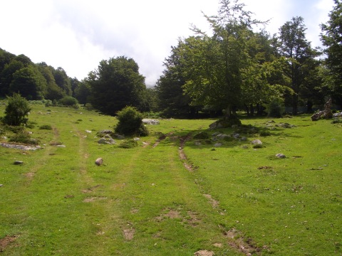
Pumareña, from the ascent to San Pedro
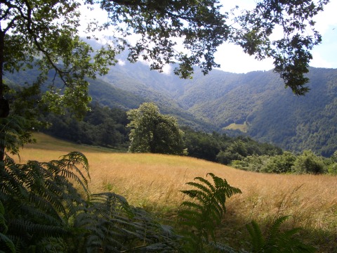
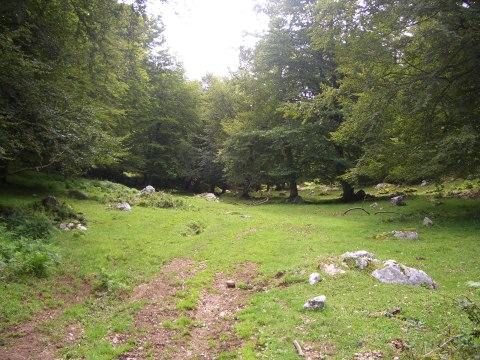
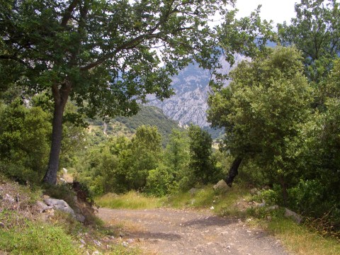
In Liébana, mountains are covered by forest
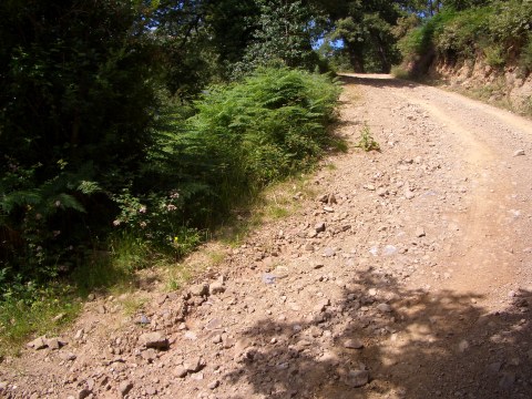
The ascent is hard
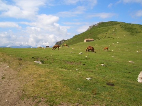
Arriving at the top, near la Braña de los Tejos
Cross-country descent
Continuing the descent
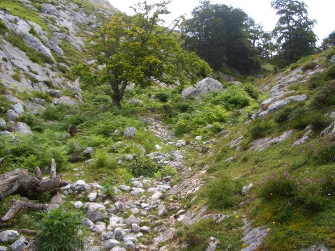
We pass a non-cyclable torrent
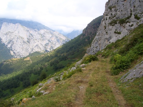
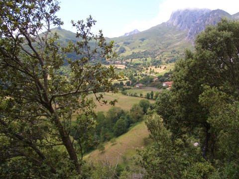
The track that goes down to Lebeña
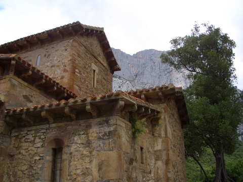
The mozarab church of Santa María de Lebeña
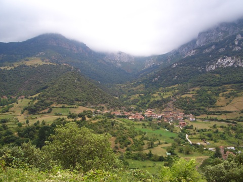
A view of Lebeña
The hard ascent to Cabañes
The village of Cabañes